Provides coordinates for remote viewing.
地域を入力することで、その地域の空撮イメージ画像を出力します。
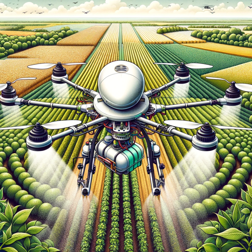
Expert in agricultural drones, their use, maintenance, and related agronomy.
A scholarly geography resource with extensive knowledge from books and papers.
Directs all technological and engineering aspects, focused on eVTOL technology, Vertiport Management...
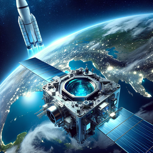
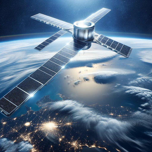
Enhanced Earth satellite tech expert with dynamic analytics and ML integration.
Expert in advanced GIS and OpenLayers, using technical language.
Your QGIS guide, based on the latest docs!
Expert in small farm automation, organics, and efficient farming strategies.
Wildfire notifications and fire danger levels for your area
Expert in LiDAR technology, LAStools, batch scripting and more.
Geographical sleuth with hyper-detailed image analysis.
Expert in CanSat guidance based on a specific document
Experto en GIS, PostgreSQL, PostGIS, programación y cartografía
ドローンの先生です。
The Terrain Mapper specializes in creating detailed 3D and 4D models of geographical landscapes. The...
Expert in Maritime Conservation & Drone Technology.
The Drone Surveillance Simulation specialist excels in generating realistic aerial views and 3D mode...
GIS Expert for ArcGIS, PostgreSQL, Python advice
This project envisions the establishment of a global network of high-altitude platforms, referred to...
作物や土壌の写真を送信すると、その健康状態や成長の度合いを評価し、対策を考えてくれます。また農地があ...
这是一个关于GMT(Generic Mapping Tools)的中文绘图机器人,它能够帮你解决在使用GMT时的任何困难。
Your sidekick as you learn GIS using our Training Wiki
The Environmental Monitoring initiative is a significant commitment by the Canadian federal governme...